In pictures: Thousands of aerial images of England online for first time
 Historic England
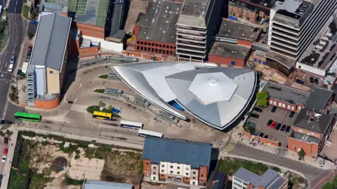
Historic England has published more than 400,000 aerial photographs online for the first time, including hundreds of locations in the East.
The pictures include historic landmarks and cropmarks showing hidden archaeology beneath the surface.
Historic England hopes to add more than six million aerial images to its explorer tool in the coming years.
Tony Calladine, from Historic England, said the pictures, dating back to 1919, would help "unlock the mysteries of England's past".
 Historic EnglandHistoric England
About 300,000 of the photos are the work of Historic England's Aerial Investigation and Mapping team, which was established in 1967.
The team takes photographs of England from the air to discover new archaeological sites, create archaeological maps and monitor the condition of historic sites across the country.
Historic EnglandHistoric EnglandHistoric EnglandThe remaining 100,000 images come from the Historic England Archive aerial photography collection, which includes interwar and post-war images from Aerofilms Ltd and the Royal Air Force.
Mr Calladine said: "The remarkable pictures of the East of England give a fascinating insight into our local areas, allowing people to see how their street and their town centre looked when their great-grandparents lived there."
Historic EnglandHistoric EnglandHistoric EnglandHistoric EnglandHistoric EnglandHistoric EnglandImages from 1919 to the present day have been added to the tool, covering nearly 30% of England.
Historic England said it hoped people would use it to research their local areas and that local authorities could use the tool for archaeology and planning.
Historic EnglandHistoric EnglandHistoric EnglandHistoric EnglandFind BBC News: East of England on Facebook, Instagram and Twitter. If you have a story suggestion email eastofenglandnews@bbc.co.uk