Solar eclipse: Path of darkness - scroll every mile of totality
 BBC
BBCMillions of people across Mexico, the US and Canada will see a total solar eclipse cross the North America continent on Monday.
The rare phenomenon will carve a narrow path of darkness eastwards from ocean to ocean across the three countries.
If you are not lucky enough to live along that path, you can still follow the route it will take by scrolling down from here.
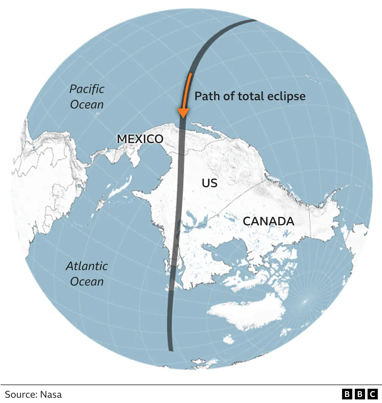
We will first orientate you by showing you an inverted map of North America so the eclipse's point of entry is at the top of the page and the exit at the bottom.
The shadow of the eclipse first touches the surface of the Earth in the Pacific Ocean before heading towards Mexico.

After arriving in Mexico, the eclipse will take a little under one hour and 40 minutes to reach the eastern tip of Canada.
The width of the path within which people will experience a total eclipse of the sun will be 115 miles (183 km) on average.
The eclipse will pass through several time zones as it crosses the continent. Times below are shown in local time and GMT. Remember to add an hour in the UK for British Summer Time.

Words: Paul Sargeant. Graphics: Kate Gaynor and Jenny Law.

More on the solar eclipse
- EXPLAINER: All you need to know
- IN PICS: Crowds gather in three countries
- SCIENCE: Four-minute window into Sun's secrets
- FANATICS: Eclipse chasers flock to N America

