Sinkhole-prone city of Ripon gets 3D model
 PA
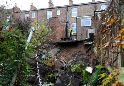
PAOne of the UK's most sinkhole-prone cities is to use 3D-mapping techniques to help planners cope with the problem.
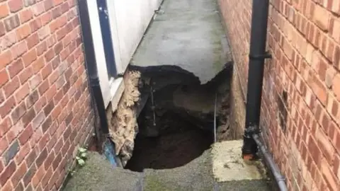
Ripon sits above a layer of gypsum, a water soluble rock which leads to the formation of large underground caves.
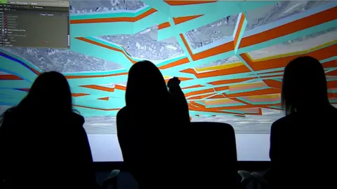
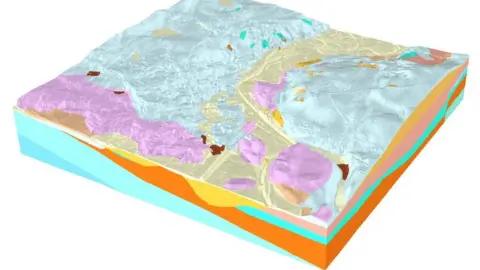
Following sinkhole collapses near existing homes, the British Geological Survey is creating a 3D model to help planners select safe sites for homes.
Local planners are under pressure to build new houses in the city after failing to meet government targets.
A Harrogate Borough Council spokesman said: "Any tool to better understand the geology is very helpful but the onus is still on any developer to establish it is safe to build on that land."
 Crown Copyright Ordnance Survey
The number of new homes built in the Harrogate district has fallen short of the government annual target of 669 new homes, according to the BBC Data Unit.
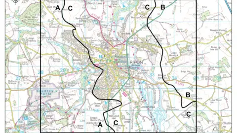
The council has earmarked land for housing development within an area of known as Zone C that is susceptible to sinkholes.
Rebecca Burnett, of the council, said: "Being in that zone does not preclude development, it just means that we have to undertake quite a lot of extra work to illustrate development is possible.
"If it proves not to be safe then there won't be development."
 BGS
BGSDr Vanessa Banks, of the British Geological Survey, said by 2020 it was hoped the map would be available to help scientists, developers and planners.
The system would not "give all the answers" about where housing could be built but would show "where the greatest uncertainty" was for further investigation.
You may also be interested in:
 Other
OtherFor more on Ripon's sinkholes watch Inside Out on BBC One Monday 11 March at 19:30 and afterwards on iPlayer.
