New aerial photographs of England 'unlock mysteries of past'
 Damian Grady
A new photograph archive shows 100 years of changes to the landscape of England.
Historic England has launched a new Aerial Photography Explorer which combines maps with more than 400,000 images taken since 1919.
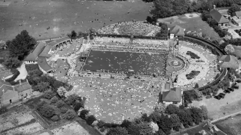
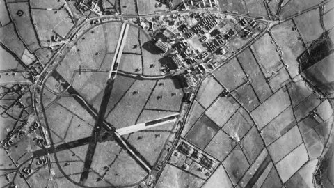
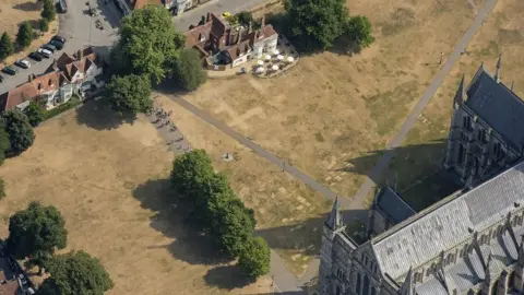
Bristol's Temple Meads station, St Eval Airfield in Cornwall and Salisbury Cathedral are in the collection.
Historic England's regional director Rebecca Barrett said it would "unlock the mysteries of England's past".
 Historic England
 RAF/Historic England
 Damian Grady/Historic England
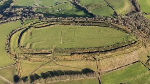
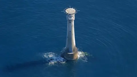
Around 300,000 of the photographs come from Historic England's Aerial Investigation and Mapping staff who have been taking photographs of England from the air since 1967.
The remaining pictures come from the charity's aerial photography collection which features a total of more than two million photographs including many taken by the Royal Air Force and Aerofilms Ltd.
 Damian Grady/Historic England
 Historic England
 Damian Grady/Historic England
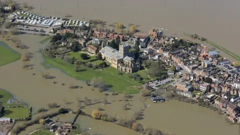
Many of the more modern photographs show how extreme weather such as flooding or heatwaves can have an impact on the landscape, including revealing the foundations of long-lost buildings.
As more of Historic England's photographic archive is converted to digital files, the collection will expand over the coming years.

Follow BBC West on Facebook, Twitter and Instagram. Send your story ideas to: [email protected]
