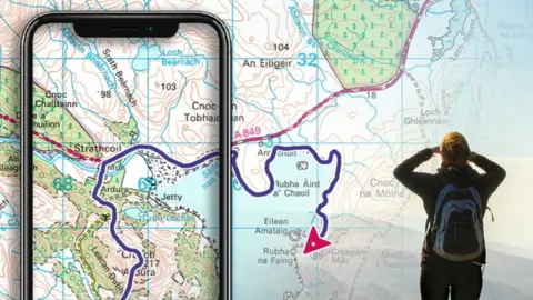
Ordnance Survey reveals top map symbol requests
 OS
OSOrdnance Survey (OS) has revealed the top four new symbols people would like to see added to its leisure maps following a survey.
The Southampton-based mapping agency said, of more than 2,400 responses, the top symbol more than half want added is gate and stile fence crossings.
Village and farm shops, cafés and restaurants and open water access points were the others requested.
OS said it was working out the best maps they could go on.
Nick Giles, managing director of Ordnance Survey Leisure said: "The work that we have been doing is trying to understand the symbols that will help people - particularly in our leisure mapping - to get outside more often.
"We're trying to get an understanding of what really important symbols would help people have a better time outdoors."
If OS goes ahead with the ideas suggested, the new symbols could be added to OS Explorer/OS Landranger paper maps and OS Maps app.
It said, from the feedback, the most important symbols and features were paths, tracks, cycle lanes, roads and height information.
Symbols added recently by OS to its revised OS Tour Map include solar farms, art galleries, kite surfing and public toilets.
The national mapping agency, which based in Hampshire, maintains the National Geographic Database.
The huge database containing over half a billion geographic features provides the mapping and data for all its leisure and business products and services.
OS updates the database more than 20,000 times a day.

Follow BBC South on Facebook, Twitter, or Instagram. Send your story ideas to [email protected].
