Interactive map reveals World War One wreck sites
 Maritime Archaeology Trust
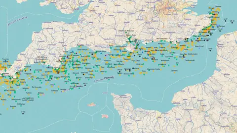
An interactive map showing the location of more than 1,100 World War One wrecks has been created.
It reveals wreck sites off the south coast of England of naval, passenger, troop and hospital ships plus airships and submarines.
The four-year project, called Forgotten Wrecks, was devised by the Southampton-based Maritime Archaeology Trust.
Users can zoom in on the map to find out more about the sunken vessels from across the world.
 Maritime Archaeology Trust
The trust said the aim of the project was to record the remains of sites and vessels "before they are forever lost to time and tide".
The map shows the resting place of wrecks from Margate to St Agnes.
Vessels from the United States, Norway, Germany, Denmark and Britain feature in the map.
 Maritime Archaeology Trust
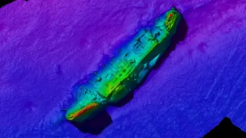
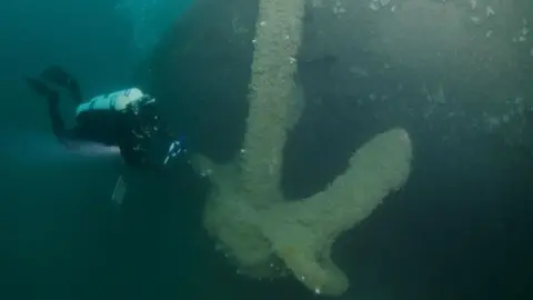
The stories of the ships have been charted using survey findings, geophysical images, dive videos of the wrecks, artefacts and historical photographs.
The project was put together by staff at the trust and nearly 400 volunteers and was funded through a £1,218,700 Heritage Lottery grant.
