Coronavirus: App to show beachgoers crowd levels
 Andrew Matthews/PA Wire
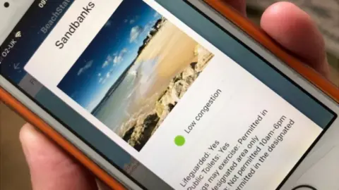
An app has been launched to help social distancing by showing beachgoers which areas are crowded.
Developed by Bournemouth, Christchurch and Poole Tourism, the free BCP Beach Check app gives real time information for visitors.
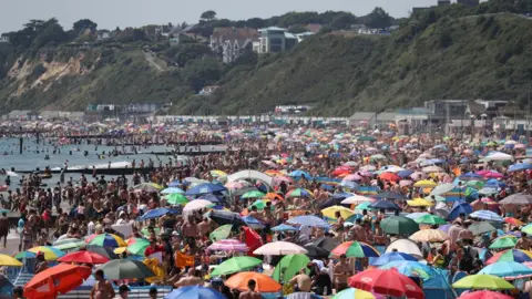
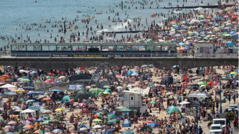
Thousands flocked to the area last month as lockdown restrictions eased, which council bosses said stretched services "to the absolute hilt".
The app is available for Apple or Android devices.

Council leader Vikki Slade said: "With 15 miles of coastline, there is more than enough space for people to be able to spread themselves around and maintain social distancing which is pivotal to ensuring the minimal spread of this pandemic."
BCP Beach Check uses a traffic light system to code beaches green, amber or red to show congestion levels.
Data for the app is provided via a number of sources including seafront rangers, CCTV and some footfall counters, BCP Council said.
 PA Media
The app covers 24 sections of beach between Sandbanks and Highcliffe.
Beaches included: Alum chine, Avon Beach, Boscombe East, Boscombe West, Bournemouth East, Bournemouth West, Branksome Chine, Branksome Dene Chine, Canford Cliffs, Durley Chine, Fishermans Walk, Flaghead Chine, Friar's Cliff, Highcliffe beach, Highcliffe Castle, Manor Steps, Middle Chine, Mudeford Quay, Mudeford Sandspit, Shore Road, Solent Beach, and Southbourne.
Last month, as temperatures hit the mid-20s, thousands of people visited the Bournemouth and Poole areas.
Bournemouth, Christchurch and Poole Council said the sheer numbers of people had left its services "stretched to the absolute hilt".
The app will also give information on the location of public toilets and lifeguards and which areas dogs can use.
