Moon landings: Apollo 11 celebrated in Cambridge University maps
 Cambridge University Library
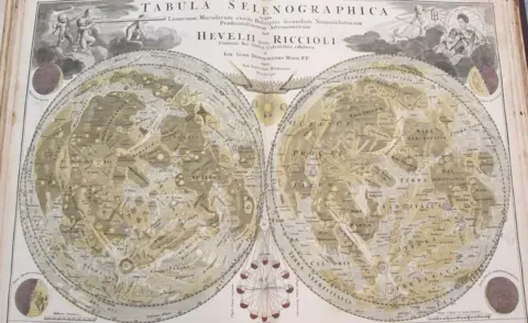
Old maps of the Moon and stars are being shared to mark 50 years since the first manned lunar landing.
Some will feature in a series of tweets by Cambridge University Library during the eight days coinciding with the dates of the momentous voyage in 1969.
They include a "rare" rubbing of a 12th Century Chinese map of the stars.
"We as a species have been recording, researching and documenting the moon through the ages," library assistant Priyanka Pais said.
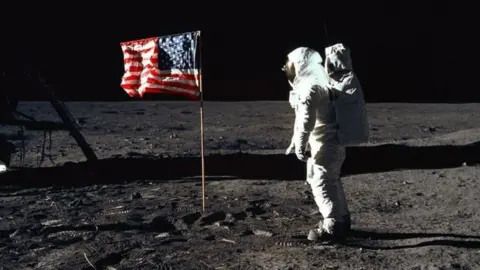
Apollo 11 launched from the Kennedy Space Center at Cape Canaveral on 16 July 1969, with three astronauts on board - Neil Armstrong, Michael Collins and Edwin "Buzz" Aldrin. They reached the moon on 20 July and returned to Earth on 24 July.
 NASA
NASAThe university library holds a vast collection of maps and other records spanning centuries of interest in the stars and planets.
A selection of these will feature in social media posts marking the 50th anniversary of the Apollo 11 mission.
 Cambridge University Library
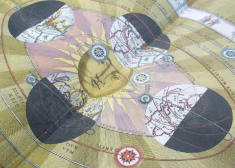
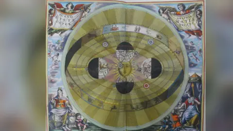
They include images from Andreas Cellarius's "Harmonia macrocosmica", an atlas of the stars published in 1661.
It is considered to be one of the most notable works of celestial cartography produced during the early years of Dutch and Flemish cartography.
 Cambridge University Library
 Cambridge University Library
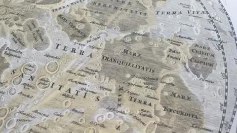
The lunar module touched down in the Sea of Tranquillity on the surface of the Moon.
A 1742 map showing the Mare Tranquillitatis, created by German mathematician, astronomer, and cartographer Johann Gabriel Doppelmayr, will be one of those featured in the library tweets.
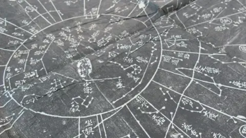
Among the rarer items in the map room collection is a rubbing of a Chinese map of the stars originally made in about 1190 for the Song Emperor.
 Cambridge University Library
The original map is now lost but in 1247 a copy was engraved on a slab of stone known as a stele.
The 19th Century rubbing from this stone copy held in the collection "is rare because they don't now allow people to rub it anymore, and also the paper used for this one was very soft and not much of that sort of material survives", Anne Taylor, head of the map department, said.
 Cambridge University Library
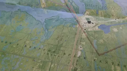
Ahead of the Apollo 11 mission, Nasa worked with the United States Geological Survey producing and publishing hundreds of geological maps of potential early Apollo landing sites on the moon.
Copes of most of those maps are also held at the library.
It also has copies of national and local newspaper coverage from the time of the Apollo 11 mission, which offer a fascinating insight into the "Moon fever" that gripped the world.
Many local businesses jumped on the bandwagon including aptly-named George Moon, a Cambridge lingerie shop which advertised it sold "corsets - not spacesuits".
A space-themed trail - To the Moon and Back - is also planned for next month, which will take visitors through the library's collection.
