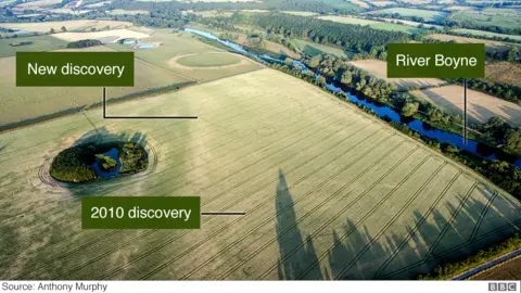
Heatwave reveals England's lost prehistoric sites

 Historic England
The heatwave has continued to reveal details of England's ancient past to archaeologists.
Surveys from the air have revealed Neolithic ceremonial monuments, Iron Age settlements, square burial mounds and a Roman farm for the first time.
Historic England said the weather "provided the perfect conditions" to see the crop marks because of the lack of moisture in the soil.
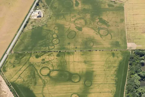
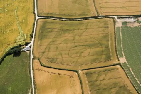
They include two Neolithic monuments discovered near Milton Keynes.
The long rectangles near Clifton Reynes are thought to be paths or processional ways dating from 3600 to 3000BC, one of the oldest of their type in the country.
 Historic England
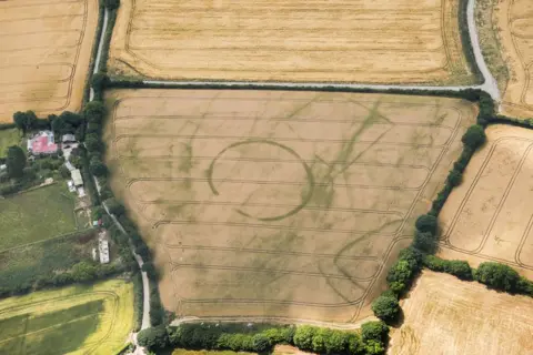
 Numerous features in a ceremonial landscape near Eynsham, a few miles north-west of Oxford, date from 4000BC to 700BC.
Monuments to the dead, a settlement and a circle of pits can be seen in crop marks on the field in an area that is already protected.
 Historic England
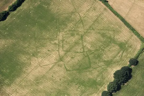 Historic England
Other finds include:
- An Iron Age round settlement at St Ive, Cornwall
- A prehistoric settlement with concentric ditches at Lansallos, also in Cornwall
- Iron Age square burial mounds or barrows in Pocklington, Yorkshire
- A Bronze Age burial mound, a ditch, and series of pits that could mark a land boundary in Scropton, Derbyshire
- A settlement or cemetery at Stoke-by-Clare, Suffolk
- A Roman farm in a field of grass at Bicton, Devon
- Prehistoric farms in Stogumber, Somerset
- An ancient enclosure in Churchstanton, also in Somerset
- The buried foundations of Tixall Hall in Staffordshire
 Historic England
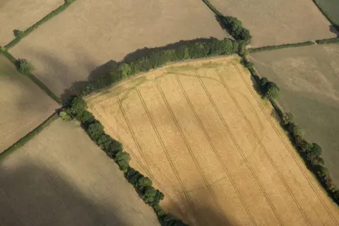 Historic England
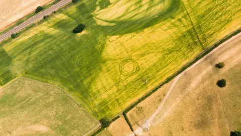
 In each case the remains are revealed as differences in colour or in the height of crops or grass.
Duncan Wilson, chief executive of Historic England, said: "The discovery of ancient farms, settlements and Neolithic cursus monuments is exciting.
"The exceptional weather has opened up whole areas at once rather than just one or two fields and it has been fascinating to see so many traces of our past graphically revealed."
Historic England uses aerial photography of crop marks to produce archaeological maps to help determine the significance of buried remains.
This can help when making decisions about protecting them from future development or damage caused by ploughing.
 Historic England
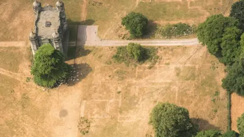 Historic England
Aerial investigation and mapping manager Helen Winton said: "This is the first potential bumper year in what feels like a long time.
"It is very exciting to have hot weather for this long. 2011 was the last time we had an exceptional year when we discovered over 1,500 sites, with most on the claylands of eastern England."

See more pictures on this subject:
Pictures subject to copyright