Snow and travel delays expected as Arctic blast hits UK
 Getty Images
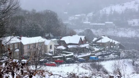
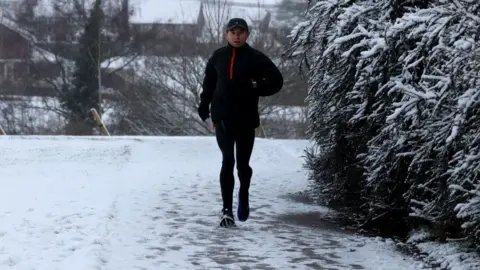
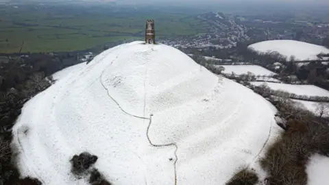
Forecasters have warned of heavy snow and travel disruption as a wave of Arctic air brings icy conditions to central and northern England.
An amber warning affecting an area between Stoke-on-Trent and Durham is set to come into force at 15:00 GMT on Thursday.
The warning indicates a likelihood of travel delays, power cuts, and that some rural communities will be cut off.
It comes after the UK recorded its coldest March temperature since 2010.
The area affected by the amber warning includes the Peak District, Leeds, the Yorkshire Dales, and the North Pennines.
The Met Office said around 10-20cm (4-8in) of snow is likely to fall across much of the area, with 30-40cm (12-16in) in some parts, and to be accompanied by "strong winds bringing blizzard conditions".
The amber warning is not set to be lifted until midday on Friday.
Less severe yellow weather warnings for snow and ice remain in place for much of the rest of the UK. These mean journey times are likely to be longer and icy patches on untreated roads and pavements are expected.
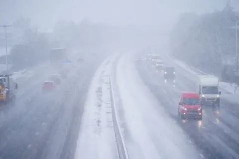
National Highways in England has issued a severe weather alert for snow in the North West, North East and Midlands between 09:00 GMT on Thursday and 08:00 GMT on Friday.
Road users are being warned to plan ahead for possible disruption and that challenging conditions could include poor visibility.
Motoring organisation the RAC has urged drivers to take the weather warnings seriously and to work from home if possible.
Those with no choice should make sure tyres are properly inflated, and oil, coolant and screenwash are topped up, it said.
National Rail has also warned snowy and icy conditions could affect trains in south-eastern England over the next few days.
Other warnings in place are:
- A yellow warning for snow and ice is in place across parts of Wales, and southern and central parts of England until 07:00 on Thursday
- A yellow warning for snow and ice for the Scottish Highlands is in place until 10:00 on Thursday
- Another yellow warning for snow and ice in the south east of Scotland, from Edinburgh down to Newcastle upon Tyne, is in place until 07:00 on Thursday
- A yellow warning for just snow is in place from 07:00 on Thursday until 14:00 on Friday, taking in Northern Ireland, parts of Wales, central and northern England, and the Scottish central belt.
Allow X content?
BBC Weather's Jennifer Bartram says the cold spell is due to a change in wind direction "with northerly winds bringing cold air down from the Arctic".
She said although it was not unusual to have snow and cold weather at the start of March, "this feels like a bit of a shock to the system after what was a mild and relatively dry February for most".
 PA Media
 BBC Weather Watchers/Ingrid
 Andrew Carbis
To prepare for the cold spell, two coal-fired power stations have begun generating power again.
The plants in West Burton in Lincolnshire were due to close last September, but the government requested they stay open for an extra six months because of fears of possible power shortages.
Some ski resorts in Scotland have opened runs after the heavy snowfall, with Snowsport Scotland saying it hoped the recent weather would be "the start to another boost for the mountains".
"Looking at the forecast, this could be our biggest week of the year," said Alison Grove from Snowsport Scotland.
 Getty Images
 PA Media
 PA Media
A level-three cold alert has been issued by the UK Health Security Agency (UKHSA) for the whole of England and will remain in place until midnight on Thursday.
Dr Agostinho Sousa, the agency's head of extreme events and health protection, advised people to check on vulnerable relatives, adding that pensioners or anyone with an underlying health condition should heat their home to at least 18C (64F).
Veterinary charity PDSA advises giving dogs and cats extra blankets for their beds over the winter months. Raised beds can keep older dogs away from draughts, while cats may like high-up dens.
 Ben Birchall
 PA Media
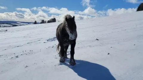 BBC Weather Watchers/Doric