Storm Freya brings dangerous high winds to the UK
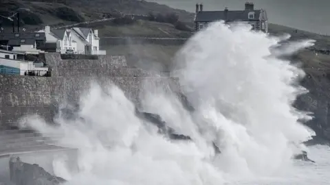
Wind speeds in parts of the UK have reached 76mph as Storm Freya sweeps across the country.
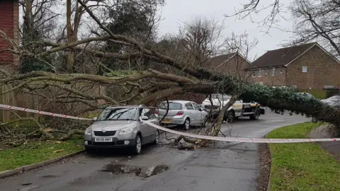
Fallen trees and power lines have been reported, while the Met Office issued a warning for injury and danger to life from flying debris.
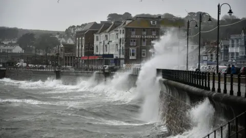
Some roads have also been closed due to flooding and homes left without power.
A further warning for snow disrupting travel on high ground overnight has been issued for parts of Scotland and the north of England.
The warnings of strong winds, which are in place until Monday morning, cover parts of Wales, south-west England, the Midlands, northern England and southern Scotland.
 James Thomas
Gusts of nearly 60mph on Sunday were recorded in south-west England, with main roads partially blocked in Cornwall and Devon due to fallen trees and power lines.
The highest wind speed was recorded in Mumbles, south Wales, where the Met Office said there were gusts of 76mph.
A major road has also been flooded in Wales and hundreds of homes were left without power.
 PA
PAStrong winds swept across Scotland on Saturday night as a separate weather system moved inland.
A gust of around 70mph was recorded at South Uist, while winds of 45 to 50mph blew through Glasgow and Edinburgh.
The storm follows a week of record-breaking winter heat in the UK.
But Met Office meterologist Dean Hall said Devon and Cornwall had been the first to feel the weekend's storm, with gusts of nearly 60mph on the west coast.
He said the wind was expected to peak at about 19:00 GMT, with speeds of about 50 to 60mph likely in the warning area.
Coastal areas, particularly in west Wales, could see gusts of 70 to 80mph.
Allow X content?

BBC Weather's Gemma Plumb said the storm, moving in from the south and west of the UK, was expected to push north across much of the country on Sunday.
She added: "For a time during Sunday evening and overnight there is the risk that some rain could fall as sleet or snow on the hills of southern Scotland and northern England."
 Scott Milligan
 PA
PA PA
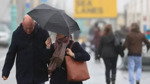
PATravellers are advised to plan journeys ahead, as road, rail, air and ferry services may be affected with longer journey times and cancellations possible.
Some roads and bridges may also have to close.
Sharp contrast
The storm warning comes after a week which saw the UK break its warmest winter day record on two consecutive days, with 21.2C recorded in Kew Gardens, London, on Tuesday.
The Met Office has also provisionally announced that last month was the second sunniest February on record for the whole of the UK.
 PA
PAThe forecaster said there were average maximum daily peaks of 10C, beating the previous record of 9.8C set in 1998.
Last February, temperatures in the UK plunged as low as -11.7C at South Farnborough, Hampshire.
