National Trust maps out climate threats to historic places
 National Trust
The National Trust has mapped climate change threats to its stately homes, countryside and coastline.
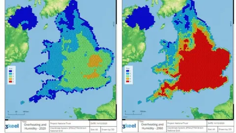
The map paints a "stark picture", which will help plan interventions to save its sites, says the charity.
The data is based on a "worst-case scenario" where emissions of heat-trapping gases continue unabated.
Sites facing a high level of threat from the likes of extreme heat or flooding could rise from 5% in 2020 to 17% in 2060, the map predicts.
The map will be used to help pinpoint locations for peat bog restoration to counteract flooding or tree planting to provide shade in areas likely to experience high temperatures.
 National Trust
"While the data draws on a worst-case scenario, the map paints a stark picture of what we have to prepare for," National Trust director for land and nature Harry Bowell said.
"But by acting now, and working with nature, we can adapt to many of these risks."
The map plots how extreme heat and humidity, landslides, coastal erosion, shrinking and shifting ground, and high winds could change over the next 40 years.
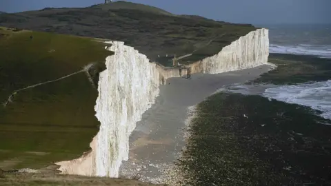
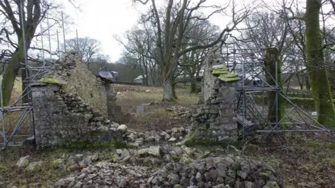
Future threats include more landslides at coastal sites such as the Giant's Causeway in Northern Ireland, storm and flood damage to historic buildings, and high heat and humidity at stately homes such as Ham House in London.
 National Trust/PA Wire
The map uses data from a number of sources and plots them in hexagonal grids across England, Wales and Northern Ireland, where the National Trust operates.
A spokesperson for the independent Climate Change Committee, which advises government, said: "This map will support our research and analysis into the vulnerability and exposure of some of the nation's most important and sensitive heritage sites to future climate change."
The release of the map comes eight months ahead of a key climate summit in Glasgow where world leaders will meet to formulate a global plan on how to tackle the climate crisis.
On Friday, two reports from MPs criticised the government over its planning for meeting long-term climate targets and a lack of clear measures of success for the COP26 conference.
A COP26 spokesperson said the government was making "good progress" but added "there is no time to waste".
