Interactive map shows how St Helier is changing

 Government of Jersey
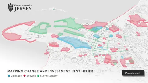
An interactive map aims to help islanders understand how part of Jersey is changing, according to officials.
Mapping Change and Investment in St Helier brings information about recently completed, present and future construction projects in the town to people's fingertips, said the Government of Jersey.
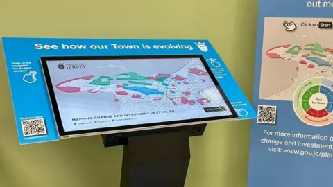
The map will be available online, as well as through three digital touch screens in St Helier - at the Town Hall, Jersey Library and the Government Office on Union Street.
Constable Andy Jehan, Minister for Infrastructure, said the plan aimed to "help islanders, investors and decision-makers understand the strategic context in St Helier and the positive changes that are under way".
The map would be updated as new developments were announced, he said.
 Government of Jersey
The government said the map brought together public and private projects to help islanders understand "what is happening, where it's happening and why it matters".
It said the tool was part of a long-term effort to make information about St Helier's future "more accessible, engaging and inclusive".
"It encourages people to explore how the town is changing and to feel part of that transformation," said officials.
Follow BBC Jersey on X and Facebook. Send your story ideas to [email protected].