Snow leads to 'extreme care' warning for drivers
 Katz/ BBC Weather Watchers
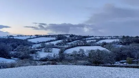
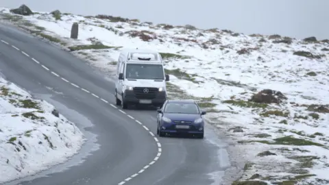
Motorists in Devon have been urged to drive with "extreme care" after snow fell overnight.
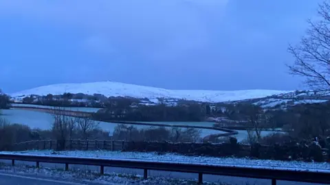
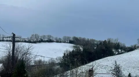
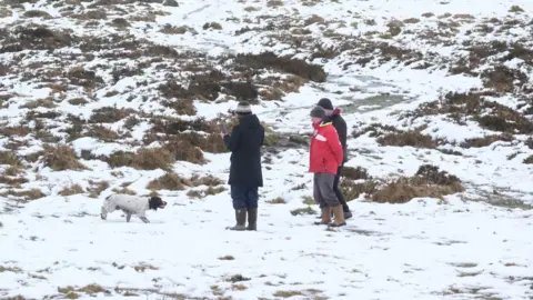
Snow settled in several areas of the county, including Plymouth, Ivybridge, north Devon and Dartmoor.
Devon County Council said: "Our gangs have been working all night to keep the roads passable, but drive with extreme care, avoid high roads and stick to main roads where possible."
A yellow wind warning is currently in place for parts of Devon.
 Warwickwelsh/BBC Weather Watchers
 PA
PAPCSO Debbie Hollinson, of Devon and Cornwall Police, said on X, formerly known as Twitter: "We’re seeing lots of snow in the areas surrounding Plymouth this morning."
Two inches (5cm) of snow settled on the ground in North Wyke, just north of Dartmoor overnight.
Rose Mallard, 50, a smallholder from near Bideford, said: "To wake up to see the snow settled and a beautiful blue sky was a gift."
Temperatures dropped to lows of -1.2C (30F) in Okehampton.
On Wednesday night, Insp Dave Thubron said on social media snow had caused "poor travelling conditions at altitude".
Allow Facebook content?
 Insp Dave Thubron
Plymouth Citybus posted: "All services running this morning.
"However some adverse weather and a lot of surface water please allow plenty of time for journeys this morning."
 PA
PATrees blown over
Jen Murphy, from Devon County Council's highways team, said the snow had been anticipated, but was "deeper than expected" in some areas.
Speaking to BBC Radio Devon, she said most of the snow had cleared on Thursday as road temperatures went back above freezing.
Ms Murphy added the highways team had its focus on the weather warning for wind, which is in place until 23:59 GMT on Thursday, alongside the snowfall, with trees being reported as blown over in the county.
"Mostly our advice is for drivers that are out and about on the road is that need to watch out for trees and other debris that may be there as a result of the wind," she said.
"Especially with it being the start of the Easter holiday, meaning that we're expecting a lot of people out there towing trailers and caravans on our roads from today onwards."
Analysis: David Braine, Senior Broadcast Meteorologist
It was a bit of a surprise to see snow at low levels last night, the forecast was for it to be above 200-300m (600-900ft).
Forecasting snow is notoriously difficult, but we think the intensity of the rain initially created large vertical currents of air.
This brought some very cold air from high in the atmosphere down to the surface and turned the rain temporarily to snow for an hour or so.
Follow BBC Devon on X (formerly Twitter), Facebook and Instagram. Send your story ideas to [email protected].
